 geo.be Metadata Catalog
ESRI Shapefile
Type of resources
Available actions
Topics
INSPIRE themes
federalThemes
Keywords
Contact for the resource
Provided by
Years
Formats
Representation types
Update frequencies
status
Scale
-
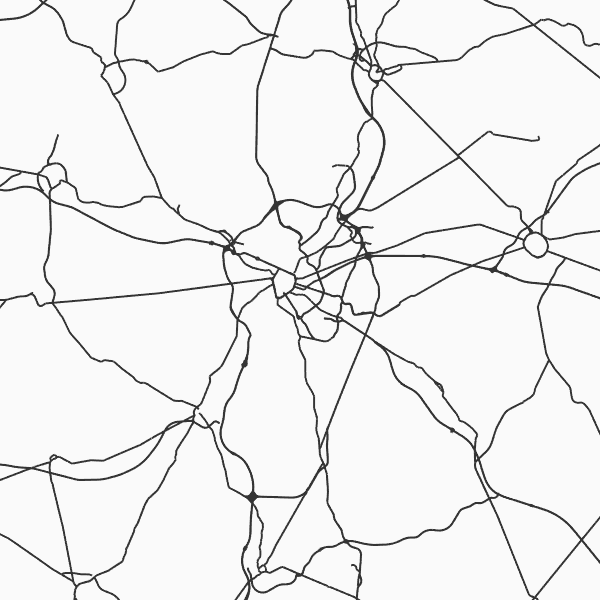
Top10Vector - Road network is the vector data set of the Belgian road network. It contains five classes. First class: dirt roads. Second class: kilometer markers along the road network. Third class: path segments. Fourth class: road obstructions. Fifth class: road segments. This data set aimt at representing the surface area of the road network on the Belgian territory and is not designed for route calculations. This data set can be bought via the corresponding hyperlink.
-

Top10Vector – Hydrography is the data set of the Belgian hydrography. This data set includes six classes. First class: waterway kilometre markers of the Belgian navigable waterways. Second class: watercourse surfaces. Third class: watercourse segments. Fourth class: water points, which means points where the water arrives at the surface or disappears into the subsoil. Fifth class: wetlands, which means zones where the soil is saturated or regularly flooded. Sixth class: water surfaces. This data set can be bought via the corresponding hyperlink.
-

Top10Vector – Rail network is the data set of the railway network in Belgium. This data set includes three classes. First class: rail network kilometre markers. Second class: railway stop. Third class: railway track segments. This data set can be bought via the corresponding hyperlink.
-

Top10Vector is Belgium's series of topographic vector data. The data set contains 37 feature classes, which are divided into eight themes (road network, railroad network, power grid, constructions, land use and vegetation, local relief and particular zones), all of which correspond to a so-pecific data set and can be obtained separately via the corresponding hyperlink.